|
 |
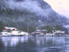
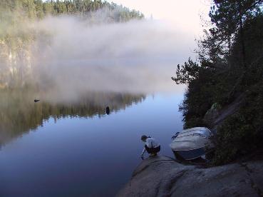
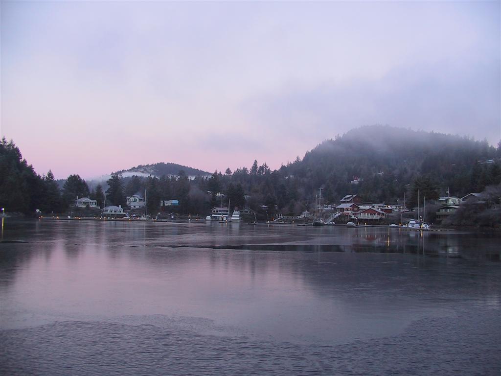
We considered stopping for the night at the
Harmony Islands, but were eager to see Chatterbox Falls that day, so we
forged ahead. It was very cold, but the mountains were so magnificent that
we bundled up and rode in on the flybridge. The further we went, the more
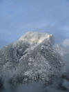
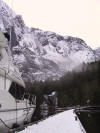
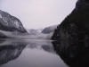
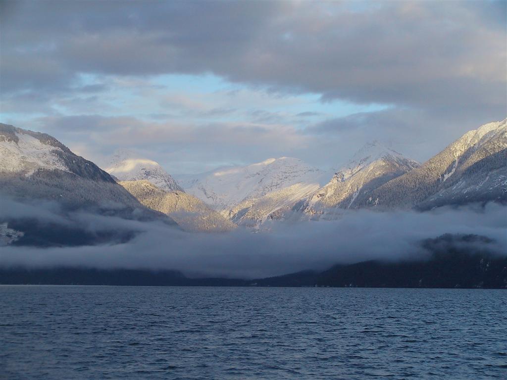
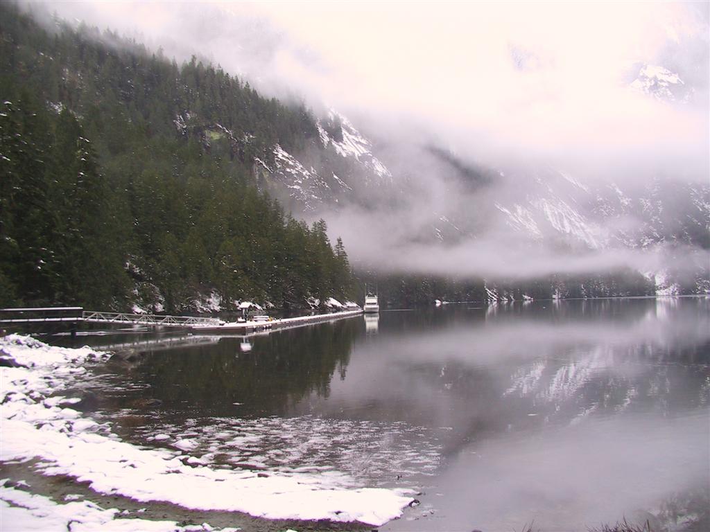
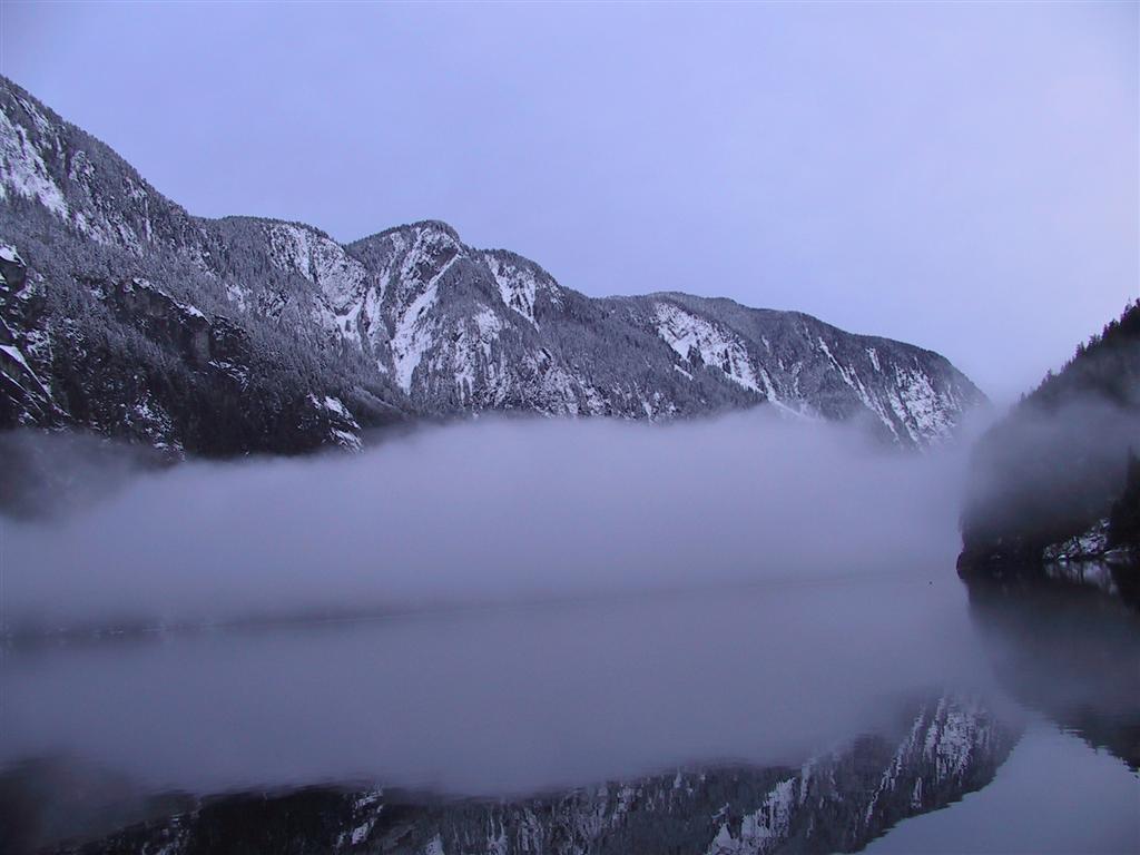
impressive the scenery became. Pictured is the leftmost peak of the
Marlborough Heights, at the junction of Prince of Whales and Princess Royal
Reach. We had become somewhat spoiled by the mountain views in the
Desolation Sound area, but those of Jervis Inlet were even more dramatic.
We were definitely starting to run short of superlatives. |
|
 |
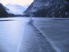
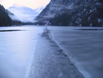
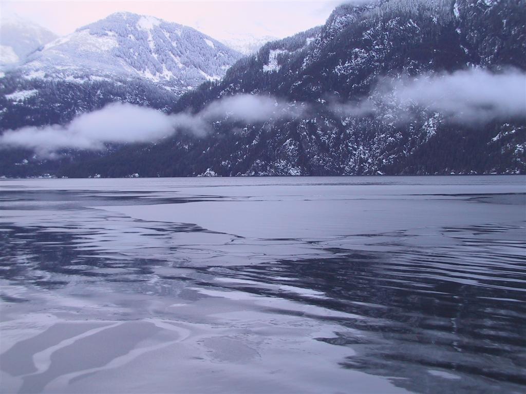
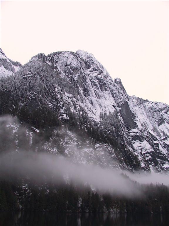
The snowline dropped lower and lower as we
progressed up the inlet and was right at the waterline when we rounded
Patrick Point, with the snow lying thickly on the peaks. The picture at left
is looking into eastward into the mountains behind Deserted Bay—about
40nm beyond which is the Whistler ski resort. It was approaching dusk at
this point, so the light was beginning to fade. |
|
 |
As we neared Princess Louisa Inlet, we were
quite surprised to find a thin layer of ice on the water. I was on the helm
up top while James was down below briefly--he came back up and did not
really believe me when I reported ice. I suggested he take a look and come
up with his own explanation, which was "Wow! Ice!" |
|
 |
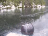
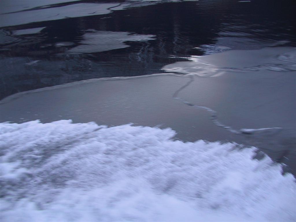
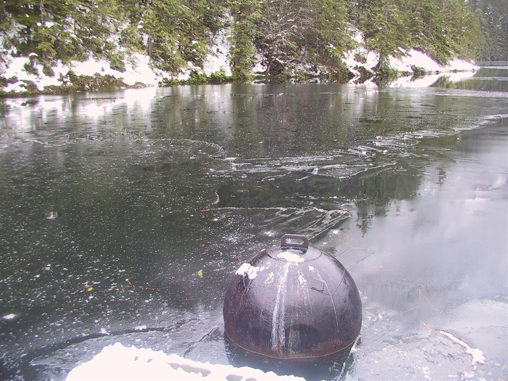
The ice was quite thin and it did not pose any
problem going through, but it was strong enough to support our wake, which
can be seen rushing across it. It seemed unthinkable to have ice on
saltwater in the southern BC coast, although partly this will be due to the
freshwater runoff from the falls. Nonetheless, we didn't expect this. |
|
 |
A snow-covered Malibu Club came into view as we
approached the Malibu Rapids. It was not completely deserted however—a
winter caretaker was on site and watched us pass
through. Huge flocks of Barrow's Goldeneye and Surf Scoters, along with
countless seagulls, covered the water on both sides of the rapids, seemingly
oblivious to the ice.
|
|
 |
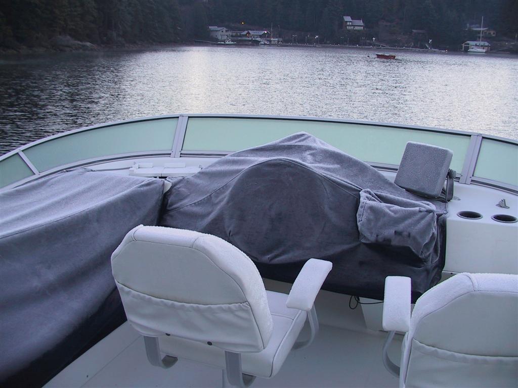
We passed through the rapids with little
problem in the fading light and a 5-knott ebb, but encountered much thicker ice inside. Concerned about damaging the gelcoat, we
prodded at the ice with a boathook. It had a consistency just beyond that of
a frozen Margarita, which isn't too bad, but Dirona was not designed
to be traveling through Margaritas. I certainly never expected to be breaking ice in
our coastal cruiser. We left a very unusual path behind us as
we worked our way through, accompanied by a disconcertingly loud crunching
sound, which can be heard in this video. |
|
 |
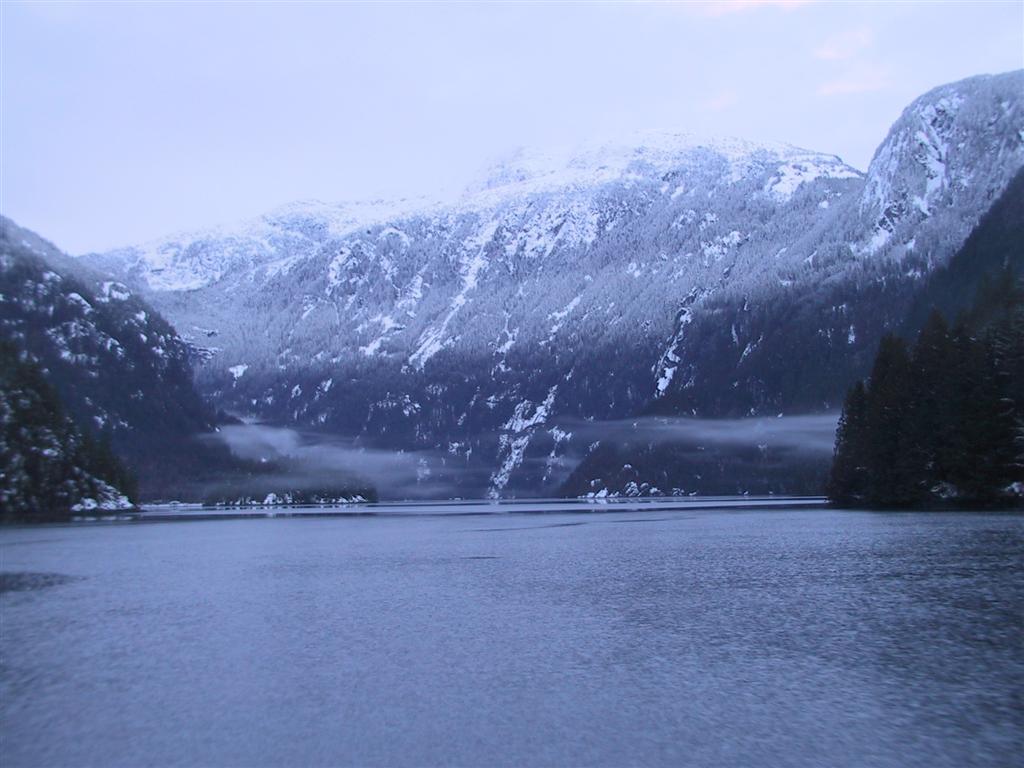
Inside, the snow and hushed solitude emphasized
the inlet's cathedral-like aura. It was by now getting fairly dark. |
|
 |
We typically choose the privacy of anchoring
over a more public dock, and were planning to anchor in front of the falls,
but it was dark and on this Boxing Day evening it would have been difficult
to find any place offering more solitude than the pier at Chatterbox Falls. |
|
 |
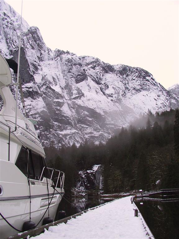
The dock was covered with several inches of
snow—when I (carefully) jumped off with the stern line, I had to dig
through it to find a place to tie off. We had a clear view of the
falls and the snow-covered mountains behind it, with a light mist lifting
and falling through most of our stay. We took a look at the hull and other
than some minor scrapes in the bottom paint, we appear to have made it
through the ice unscathed. We had covered almost 100nm from Von Donop and
were exhausted, but very happy. |
|
 |
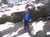
The next day we bundled up and walked up to the
falls. On the way we signed the guest book—the last entry was dated
November 30th, so likely no-one had been here since. You see a lot of
pictures of pleased-looking people in front of the falls, but few wearing
parkas with snow in the background. |
|
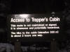 |
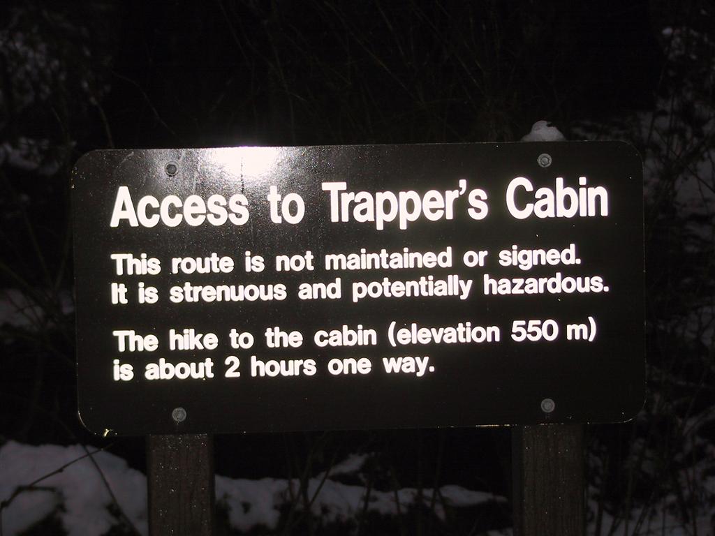
We had packed a lunch, as well as a first-aid
and hiking emergency kit, in order to hike up to old the trapper's cabin.
The hike is very steep, difficult, and slippery in the summer, but probably
ten times worse in the winter when covered with 6-12 inches of snow. We had
a difficult time locating many of the markers, some of which we eventually
found buried in the snow after searching for several hundred yards in many
directions, the small branches that they were attached to bent over under
the weight. |
|
 |
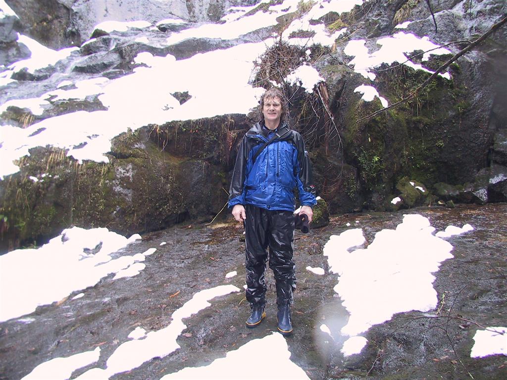
We worked our way in and up for about 2 1/2
hours, but eventually lost the trail and had to give up. It was quite
disappointing - I very much wanted a picture of the trapper's cabin covered
with snow, but we had a great hike and got a good feeling for how it must
have been for the trapper. It had started to snow fairly heavily before we
turned back, and I didn't realize how soaked we were until I looked at the
pictures. We were having fun though - the scenery was grand, the rainforest
was at it's peak, and we had hot showers waiting for us back at
Dirona. |
|
 |
The surface ice, which had receded this morning
came back with a vengeance during our hike and was in the process moving
back out when we returned, rather swiftly, as this
video taken at the end of the dock shows.
The ice layer was quite variable, as was the water temperature at
various points on on journey here, dropping
in 40 minutes
from 47 in Jervis Inlet to 37 just outside the Malibu Rapids, and bouncing
down to 35 halfway through the inlet. |
|
 |
The storm over the south end of Vancouver
Island must have passed through, as the barometer dropped 13mb overnight. We
could get no weather reports however—as in Bute Inlet, we were outside of
VHF range. We couldn't get much of anything on the shortwave radio either,
and forget about a cell phone. It feels even more isolated not being able to
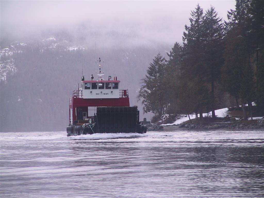
communicate. It was therefore quite a surprise when the VHF suddenly sparked
to life that afternoon with a very clear "Malibu, Malibu, Malibu. This is
Bad News." We had to go investigate, bundling up and arriving at the
rapids to find the capable and well-appointed landing craft Bad News
making its way through a rather strong ebb. |
|
 |
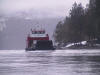
The vessel was full of wood and supplies for
Michael, who maintains the site year round. It also brought several of
Michael's friends and family members, who were coming up to spend the night
there. They invited us to land and take a look around. Michael had seen us come
through and asked about the ice. He said it was much worse last year, when a
cedar boat had done considerable damage to its hull going through. He hadn't
seen another vessel for a while, but at New Year's he said all the big boats
come up to celebrate at the falls. So we will definitely want to be leaving
before then. |
|
 |
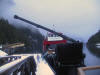
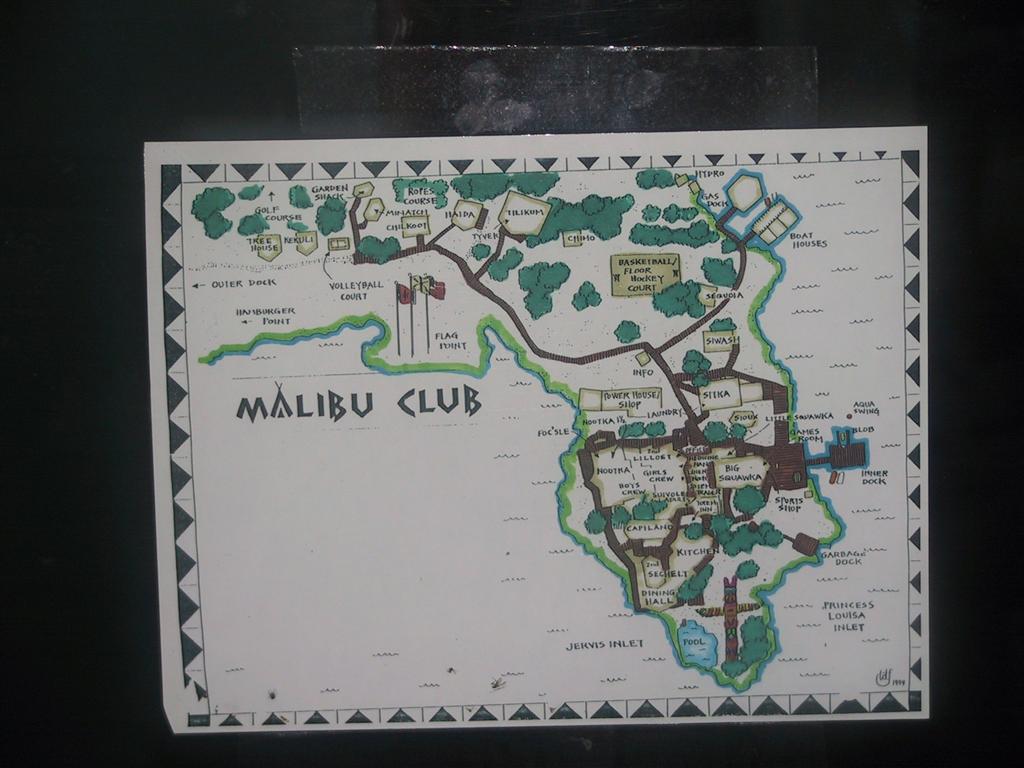
The complex is quite extensive. It was built in
as a luxury resort in the WWII-era, but suffered financial and other
difficulties and was sold in 1953 to become a
Young Life
Association Christian Youth Camp, the founder of Young Life negotiating
the purchase price down from 1M to 300,000 based on the good it would do for
kids. Malibu Rapids are just below the southern tip, where the totem pole
is, and we moored the dinghy across from Bad News at the inner dock
to the right. |
|
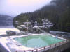 |
The swimming pool is particularly impressive,
hung out as it is over the rapids. It looked especially dramatic heated, but
rimmed with snow. In the summer, the camp, and particularly the pool and the
rocks surrounding it, are packed with happy teenagers who wave
enthusiastically at passing vessels. |
|
 |
The ice was much thicker when we set off to the
rapids. We took a dinghy ice-breaking video
along the way, but we had to be careful not to damage our inflatable hull.
It was more clear near the edges of the inlet, and thicker in the middle.
|
|
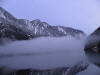 |
We woke up the next morning to an inky black sky
packed with stars. As the day dawned, a fog bank slowly
rolled in from Jervis, below a crystal clear sky. The ice had all gone,
which is surprising as it was much colder today than it has been the last
couple of days. Perhaps all the ice we saw was leftover from an earlier
freeze. Wolferstan writes that the Inlet often freezes over in cold winters,
especially near the falls where there is most fresh water. Not wanting to
risk reenacting the fate of Shackleton's Endurance, we decide to take
advantage of the ice break and head south. |
|
 |
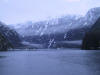
We took one last look at the beautiful cliffs
above the inlet as we left. |
|
 |
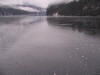
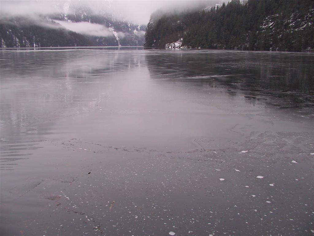
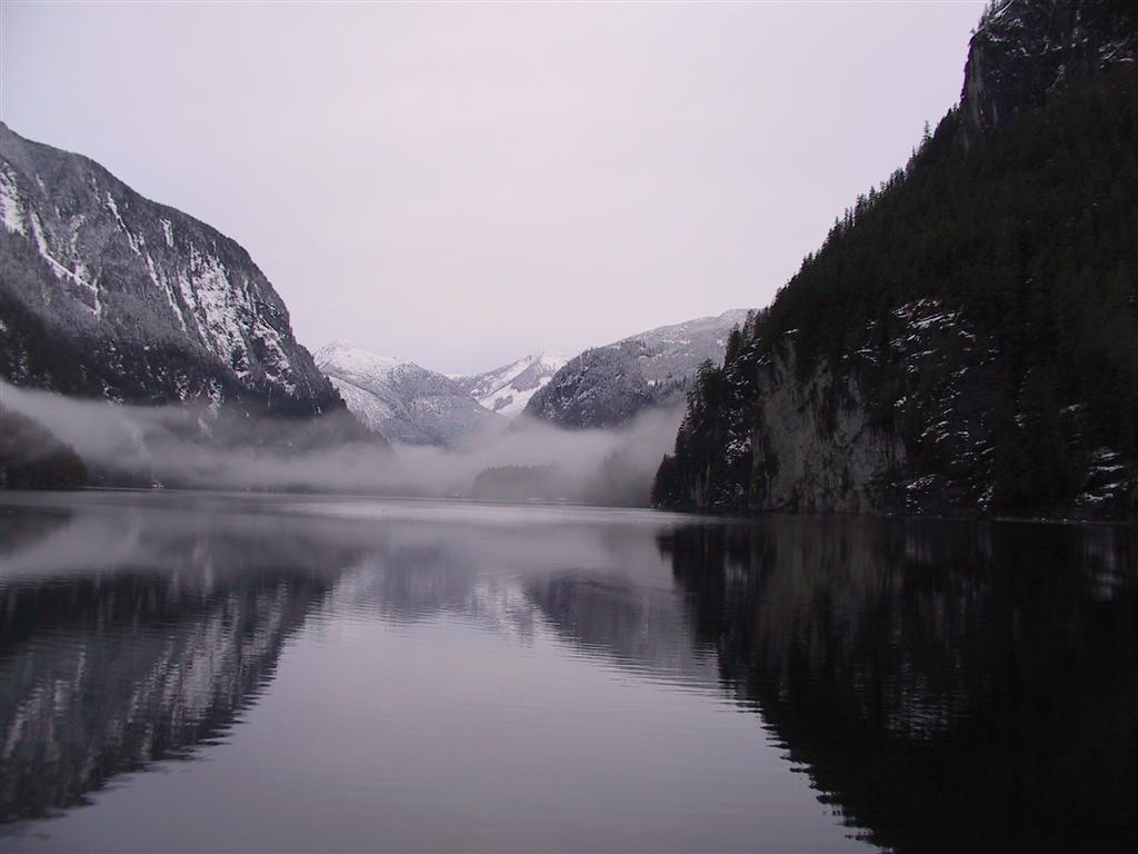
It was calm and clear as we made our
way down Princess Louisa Inlet, with little ice remaining. There was
an interesting water temperature spike about halfway through - near the mooring buoys it was 40F, then
it rapidly dropped to 38F just beyond, and was back up to 44F when we
had passed through the rapids. The fog was concentrated in this
low-temperature area too, with little to none beyond. |
|
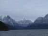 |
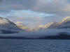
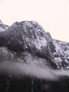
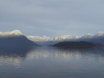
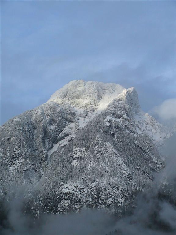
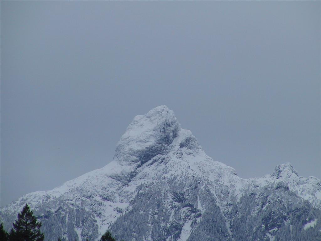
The view heading back down Jervis was even more
spectacular then when heading up, as the cloud line was much higher. This
view is looking back towards 6,480' Mount Churchill, (close-up) which is east of the
junction of the Prince of Wales and Princess Royal Reaches, with the Marlborough
Heights to the left. |
|
 |
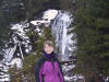
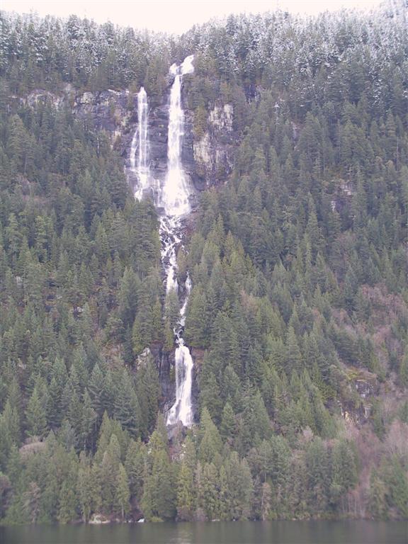
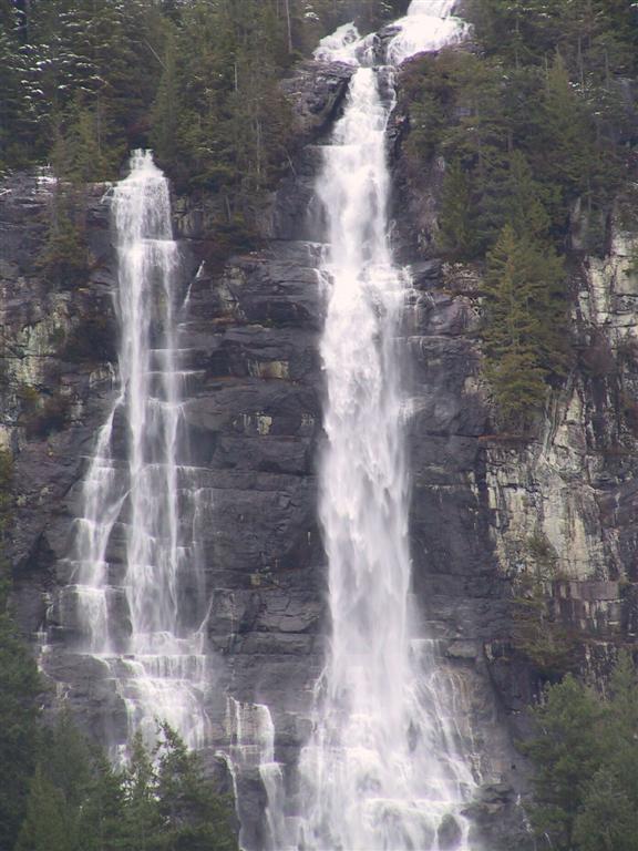
We were planning to stop at the Harmony Islands,
near the dramatic Freil Lake Falls, which cascade 1,400' almost straight
down into Hotham Sound. Here's a close-up
of the top of the falls. We also took a quick
video, but unfortunately it's sideways so until we figure out how to
change this, you'll have to rotate your screen or your head 90 degrees. |
|
 |
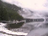
The Harmony Islands were very unappealing with
several private docks and buoys to deter boaters strung across the water, and we
did not feel like stern tying with a big gale forecast, so we continued to
Pender Harbour, where we refueled, anchored at a deserted Garden Bay Marine
Park and went into the pub for a delicious meal. The bartender said they had
seen 90km winds during the Christmas Eve storm. Yow! The next morning was
very cold at 27F, and a thin layer of ice had formed over the bay. |
|
 |
The shifters up top had frozen solid and the
canvas was stiff and immovable. After we'd run the engines for a bit and the sun
had come out, things started to thaw and we could actually get underway. |
|
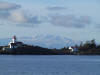 |
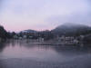
It was a clear sunny day, although very
cold. We made our way down to Vancouver ahead of the next storm forecast for
that evening. This is the Merry Island light station along the way,
looking west towards the mountains of Vancouver Island, thick with snow. We
spent three nights at Granville Island, watching the fireworks on New Year's
Eve, and then returned across the Strait of Georgia back to the Gulf Islands
and then homeward. |
| |
|
| |
|
| |
[Previous]
|
.jpg)


